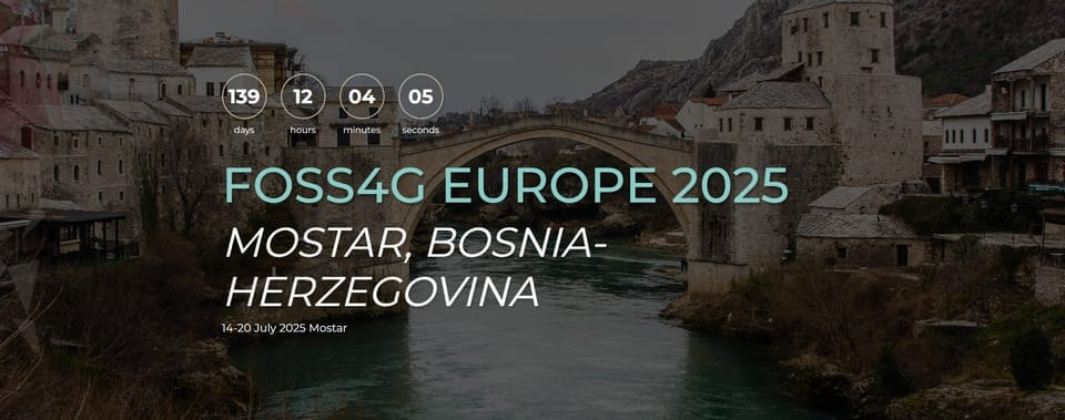
QGIS + NextGIS Web talk at FOSS4G Europe 2025 (Mostar)
Glad to announce that my talk proposal "Multiuser mapping environment with geospatial data version control based on QGIS and NextGIS Web" has been approved for FOSS4G Europe 2025 in Mostar (14-20 july).

Glad to announce that my talk proposal Multiuser mapping environment with geospatial data version control based on QGIS and NextGIS Web has been approved for FOSS4G Europe 2025 in Mostar (14-20 july). It will be my second presentation in Mostar, first is MOLUSCE workshop.
Drop me a note if you plan to be there too.
📓
The most popular open-source desktop GIS platform, QGIS (https://qgis.org/), offers rich functionality in mapping, geospatial data editing, and symbolization, making it one of the industry standards. However, collaborative work remains challenging, particularly in server-side data storage with seamless desktop synchronization, conflict resolution of edits from different users, and tracking data changes history.
We develop a set of open-source components to provide a smooth process for simultaneous multi-user data editing from QGIS and web maps. NextGIS Web (https://github.com/nextgis/nextgisweb) is a Web GIS framework with extensive capabilities in storing and publishing geospatial data, including an advanced user permissions management system and built-in data version control for vector layers. It uses QGIS as a renderer, ensuring almost full support of QGIS symbology. NextGIS Connect (https://github.com/nextgis/nextgis_connect) is a QGIS plugin that provides seamless integration between QGIS and NextGIS Web, enabling publishing QGIS projects as web maps, connecting to web maps as QGIS projects, direct server data editing from QGIS, and interactive conflict resolution.
In this talk, we will discuss the current state of the open-source ecosystem "NextGIS Web / NextGIS Connect / QGIS," demonstrate the mechanics that provide seamless multiuser data editing from QGIS, and focus on how the underlying geospatial data version control works, from its organization in the database to the end-users' ability to track data changes.