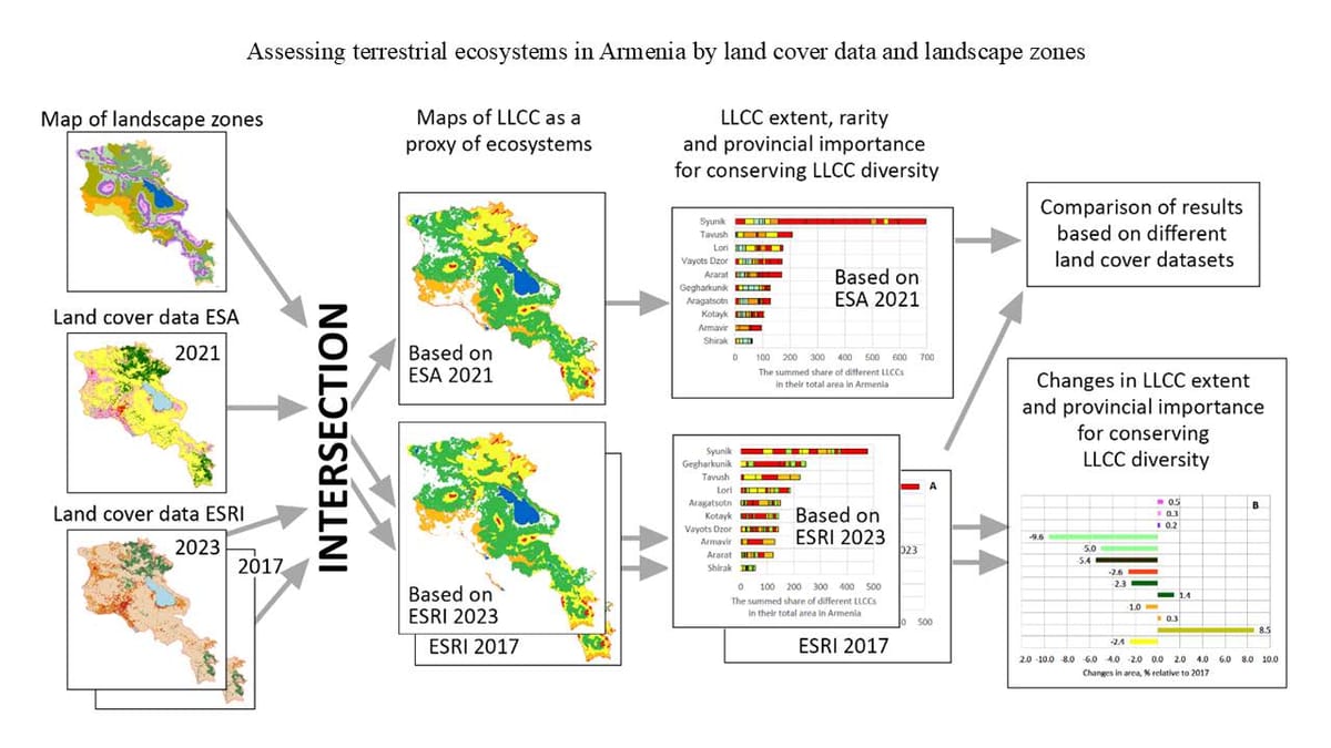
New article published: Integrating actual land cover data and landscape zone map to assess terrestrial ecosystems in Armenia
As part of the work on the research project "Ecosystem Accounting in Armenia: Setting the Scene"

I take part in scientific project dedicated to ecosystem services accounting in Armenia (Ecosystem Accounting in Armenia: Setting the Scene), under Federal Environment Agency (UBA, Germany) funding. My role is ecosystem services modeling using InVEST package, GIS analysis and mapping. Project details:
biodiversity-armenia.am – The Biodiversity Conservation Center of Armenia

First outcome paper has been published!
Elena Bukvareva, Armen Grigoryan, Maxim Dubinin, Eduard Kazakov. Integrating actual land cover data and landscape zone map to assess terrestrial ecosystems in Armenia. Explora: Environment and Resource 4996. https://doi.org/10.36922/eer.4996
ℹ️
Ecosystem mapping and accounting are essential for biodiversity conservation and ecosystem services maintenance. In this study, we tested a simple geographic information system approach by overlaying Armenia’s landscape zones with land cover data from the Environmental Systems Research Institute and the European Space Agency. This analysis resulted in maps of 20 combinations of woody and non-woody land cover classes across 10 landscape zones, which we term landscape-land cover classes (LLCCs) and use as proxies for natural ecosystems. The LLCC-based method employed in this study accounts for the landscape and geographic specificity of terrestrial ecosystems, providing data on the extent of LLCCs within ecosystem accounting areas (EAAs), identifying rare LLCCs, and tracking changes in their extent following updates to land cover data. We found this approach applicable for assessing the extent and changes of LLCCs whose area exceeds the margin of error in land cover identification. In addition, it provides a useful framework for developing a prototype of ecosystem accounting in EAAs lacking regularly updated ecosystem maps.
